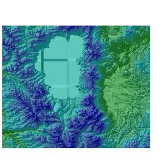
Shaded relief model of the area using a color-ramped DEM layered above a hillshade model

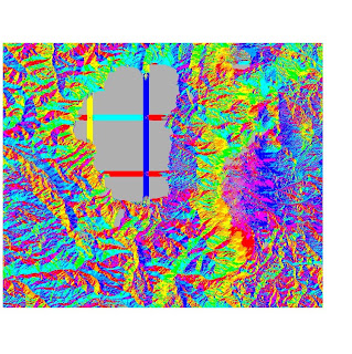
Aspect Map

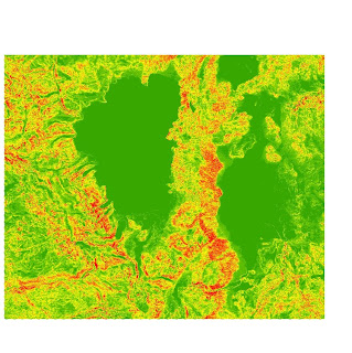
Slope Map with UTM Projection(Zone 11)

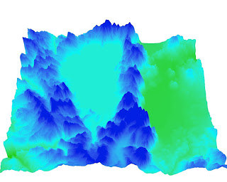
The area I chose for this week's lab was the Lake Tahoe area which lies on the boarder between California and Nevada. The geographic coordinates of South Lake Tahoe are 38°56′00″N 119°59′04″W. As an avid skiing and having visited Lake Tahoe many times, I thought this would be a great terrain to map slope, a shaded relief map, an aspect map, and a 3D map because of the interesting a greatly changing nature of the land. Starting from the lake level and going up to the peaks of many of the surrounding mountains and ski slopes, the elevation can change to the tune of thousands of feet vertically (y-axis) in a relative short distance (x-axis). The lake sits at an elevation of 6,225 feet above sea level and the mountain peaks rise to more than 10,000 feet above sea level. The region was created around 2 to 3 million years ago from geologic block faulting (to create the lake basin). To get a good look at the surrounding Lake Tahoe area, embedded below is an amateur video from one of the region's mountain peaks.
The region also has a thriving ecosystem, hundreds of miles of great hiking trails, top-notch ski slopes, and some of the most pristine waters in the world.
Top extent = 39.2908333328
Bottom extent = 38.7019444438
Left extent = -120.320277778
Right extent = -119.607222222
From the 1983 North American datum
Area = 4306545079.618 meters-squared
The pixel depth is 32 bit
No comments:
Post a Comment